Though most of Europe is nowadays a union, their individual country borders are still very important. Trust me, I have witnessed it this weekend while camping in the picturesque Monschau area of the Eifel. A Dutch guy parked his caravan with the entire a-frame encroaching into the neighbouring German lady’s camping site, and she had none of that (understandably). After an amusing (for me), but serious altercation, and campsite management intervention, the Dutch guy was defeated, and with a lot of ‘brom-brom-brom’ had to swing his caravan by 90°. Only then peace and quiet once again dawned on this little piece of European Union.
There’s a fascinating piece of borderline between Belgium and The Netherlands at Baarle-Nassau. Baarle-Nassau is closely linked, with complicated borders, to the Belgian exclaves of Baarle-Gertog. Baarle-Hertog consists of 26 separate parcels of land. Apart from the main parcel, known as Zondereigen and located north of the Belgian town of Merksplas, there are 22 Belgian exclaves in the Netherlands and three other parcels on the Dutch-Belgian border. There are also six Dutch exclaves located within the largest Belgian exclave, one within the second largest, and an eighth within Zondereigen. The smallest Belgian parcel, locally named De Loversche Akkers, measures 2,469 square metres – or if it actually is square, it means 49.69m x 49.69m! In political geography, an enclave is a piece of land that is surrounded by a foreign territory.
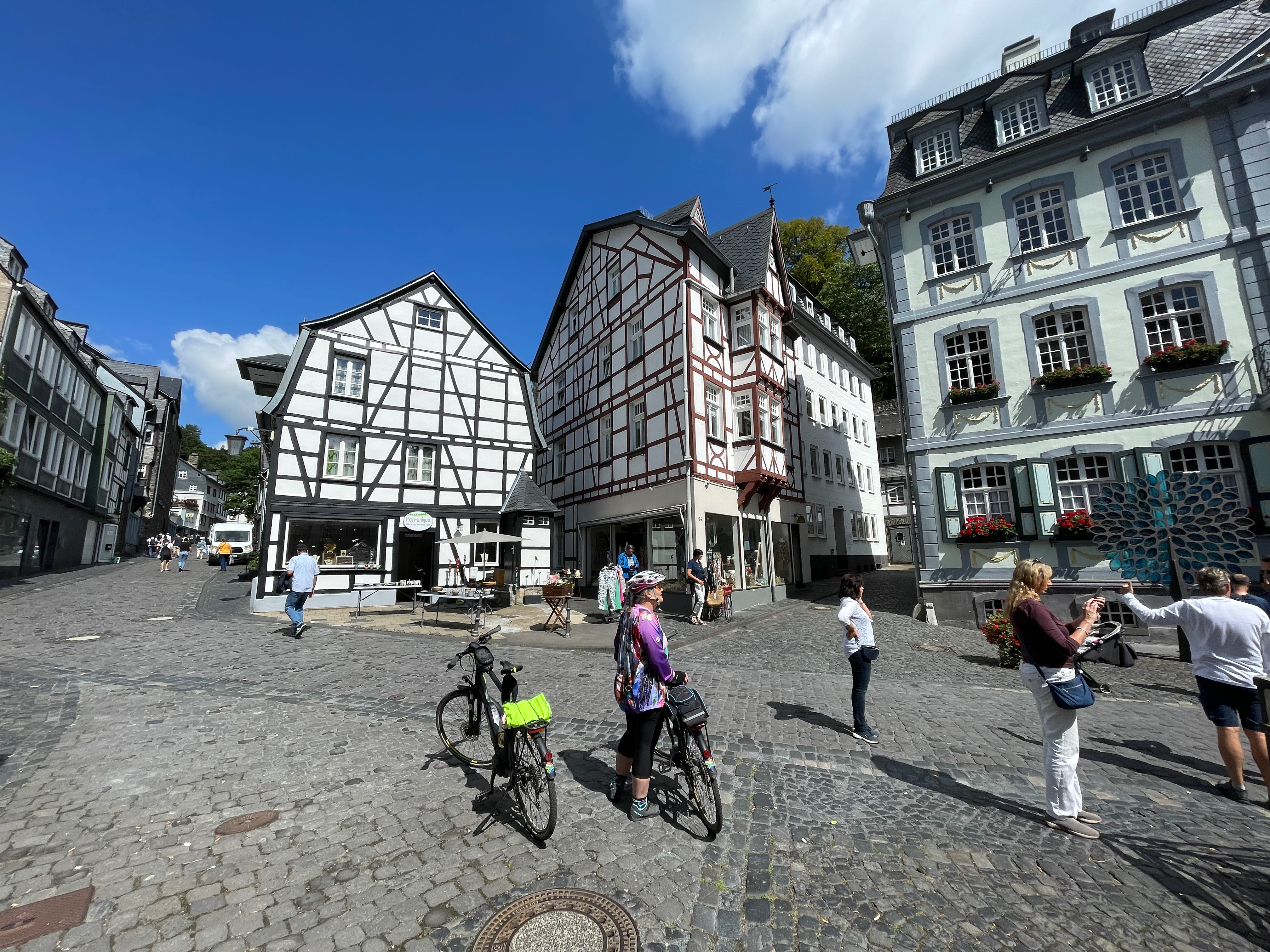
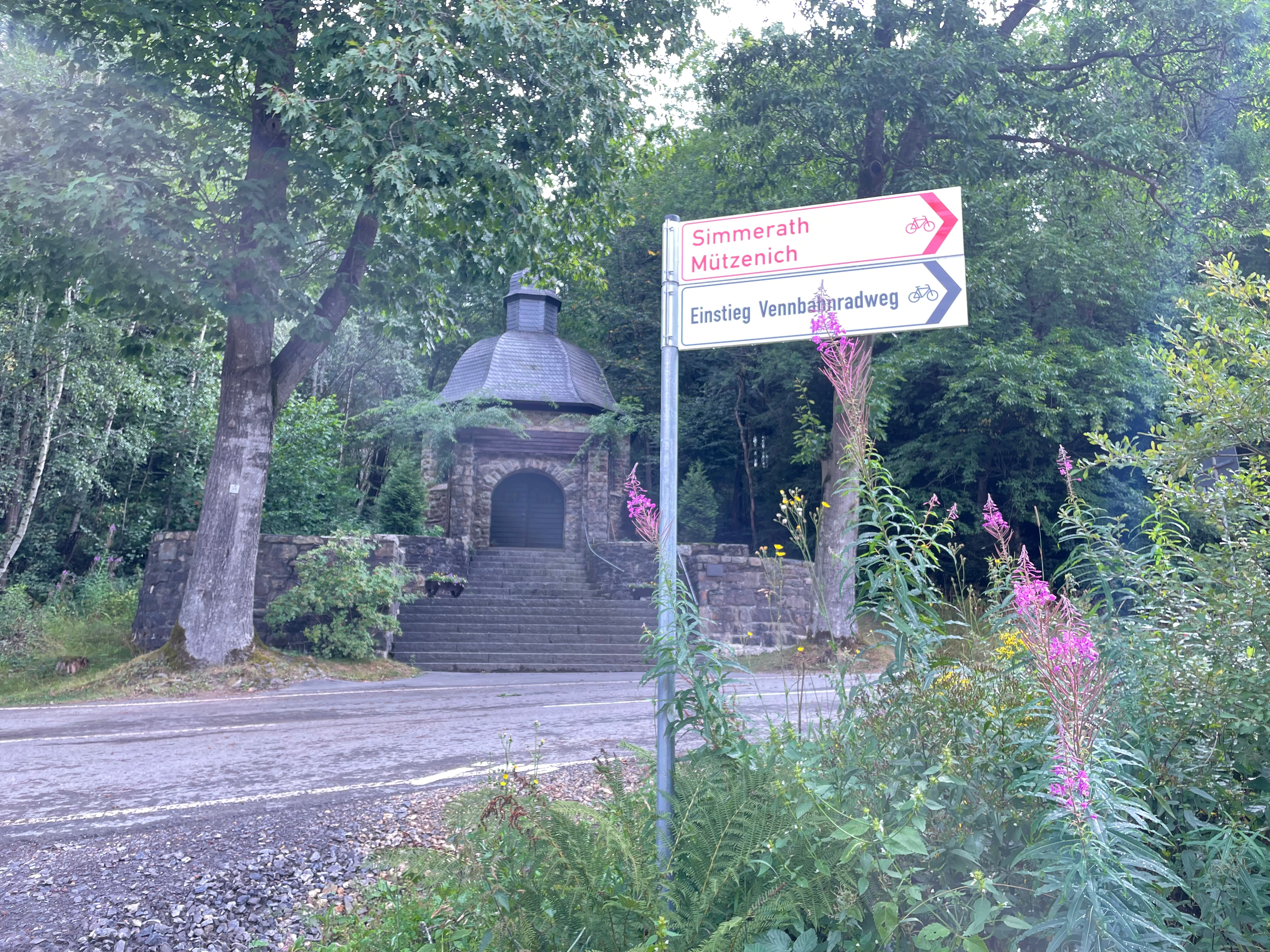
On the German Belgian border, where Heleen and I spent three wonderful days of cycling, there are similar, though not as complicated, borderlines. I have previously written about the delightful Vennbahn cycle route and these enclaves, so apologies for the repeat, but it’s such a delightful cycling area, please bear with me.

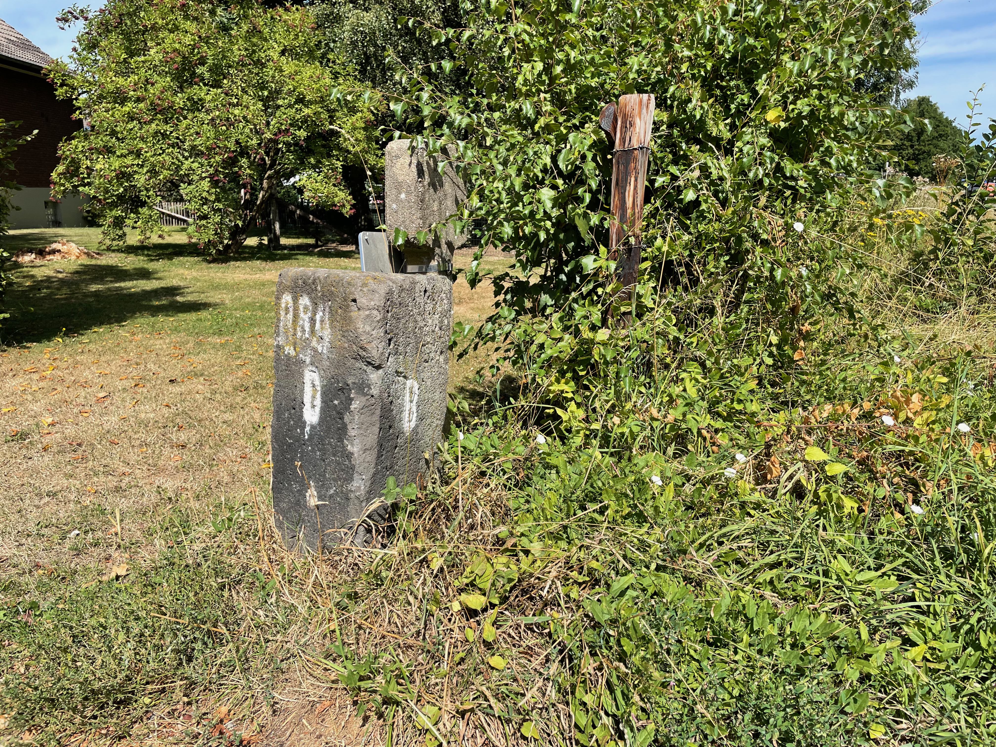

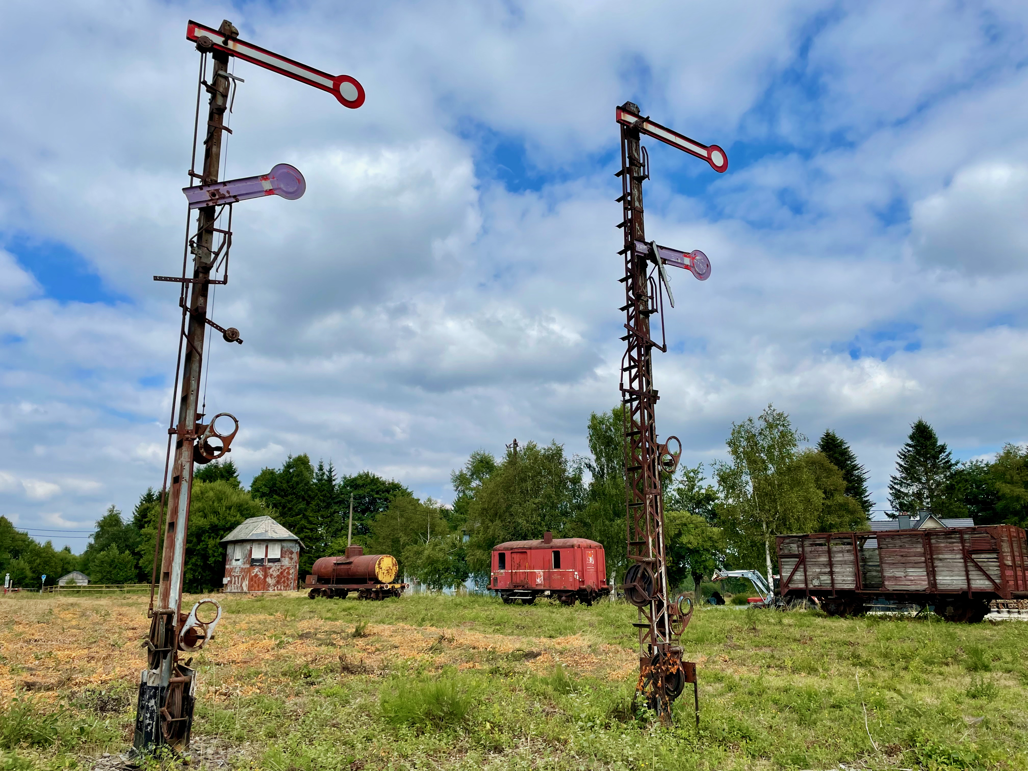
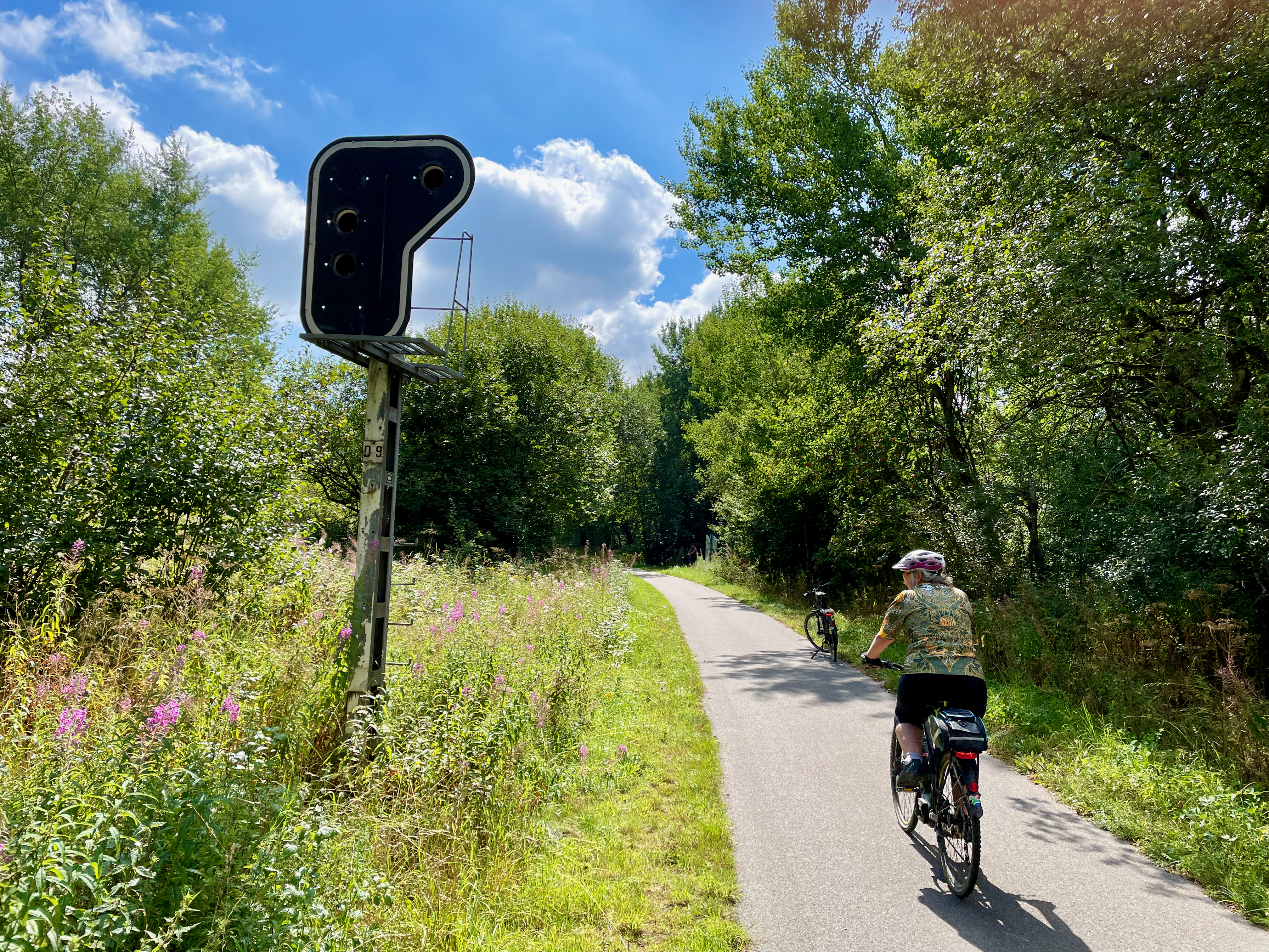
The Vennbahn or Venn Railway route has been Belgian territory since 1919, under the Versailles Treaty. It was originally built by the Prussian Government to primarily transport coal and iron, roughly between Aachen and the north of Luxembourg. When the Treaty became permanent in 1922, it meant that five enclaves of German territory (originally six) were formed, with the ‘bahn’ (railway track) a thin line of just a few meters of Belgium with Germany on both sides. The smallest German exclave, Rückschlag, consists of a house and a garden, some 155m x 100m according to my rough Google Earth measurements. I think I love cycling the Vennnahn cycle route for the feel and history of it because of the stunning railway remnants still visible; from old station platforms, railway signal posts and stop lights to the old station buildings. Maybe I love it for our daily stop at Kalterherberg station’s Waffelhaus for a cappuccino and sometimes a Belgian waffle, which really is so much better than any other waffle in the world; except maybe the Scottburgh Wimpy in the early 80’s?
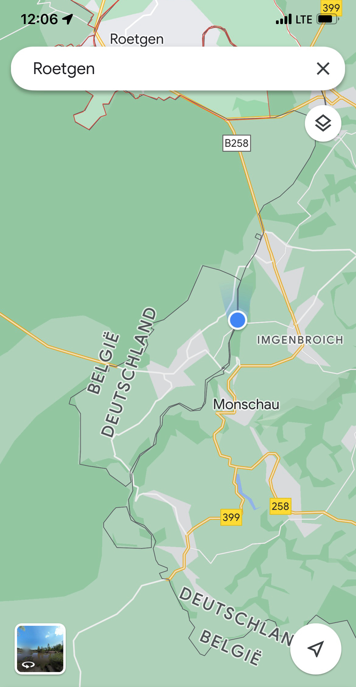
A practical benefit of the open borders nowadays – on Sunday we stopped in Roetgen at a small supermarket to by an onion and iced coffees. The ‘left’ side of the road was in Belgium, where shops are open on Sundays, while across the road on the ‘right’ side, the shops were closed, because in Germany, the shops are closed on Sundays. We had onion on our burgers that evening, and ‘woema’ in our tanks for the Hautes Fagnes climbs ahead.
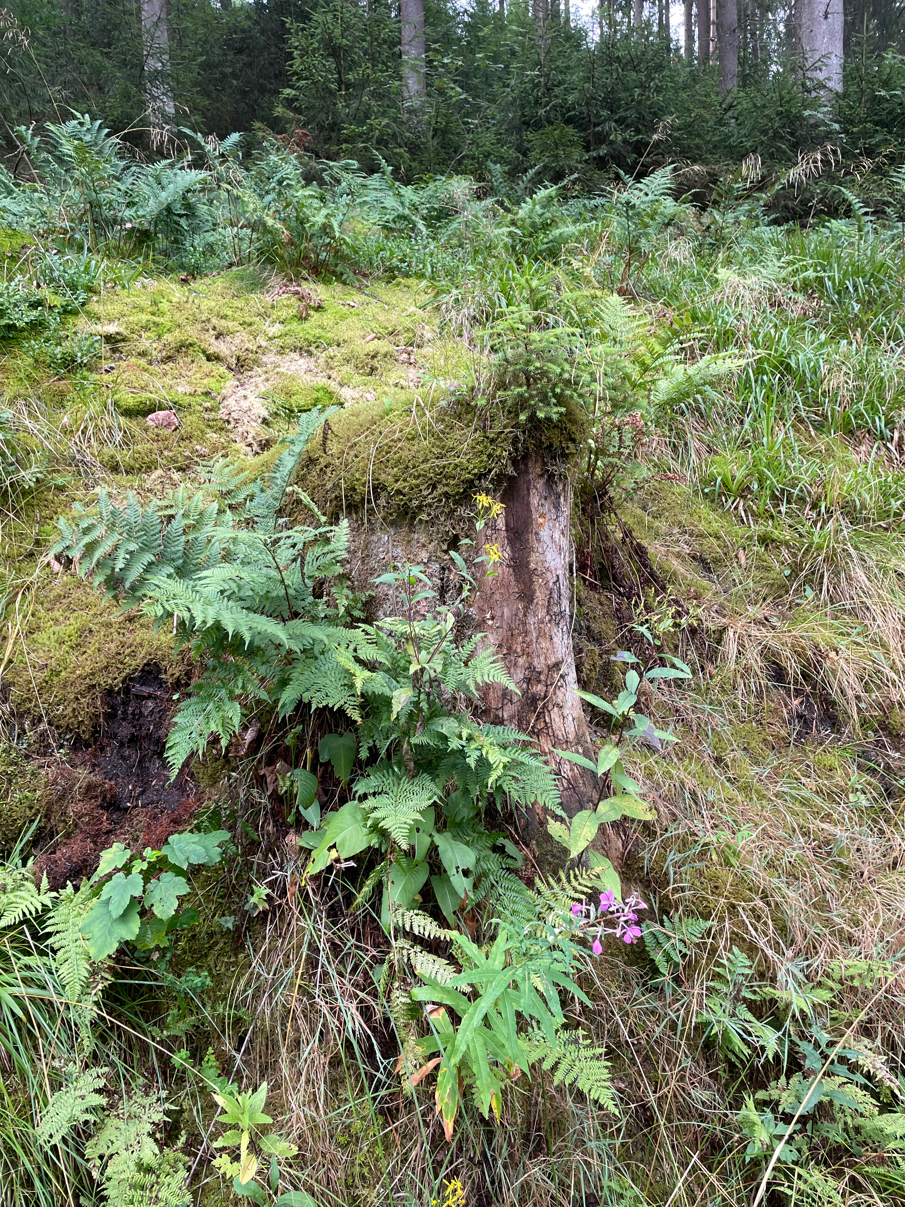
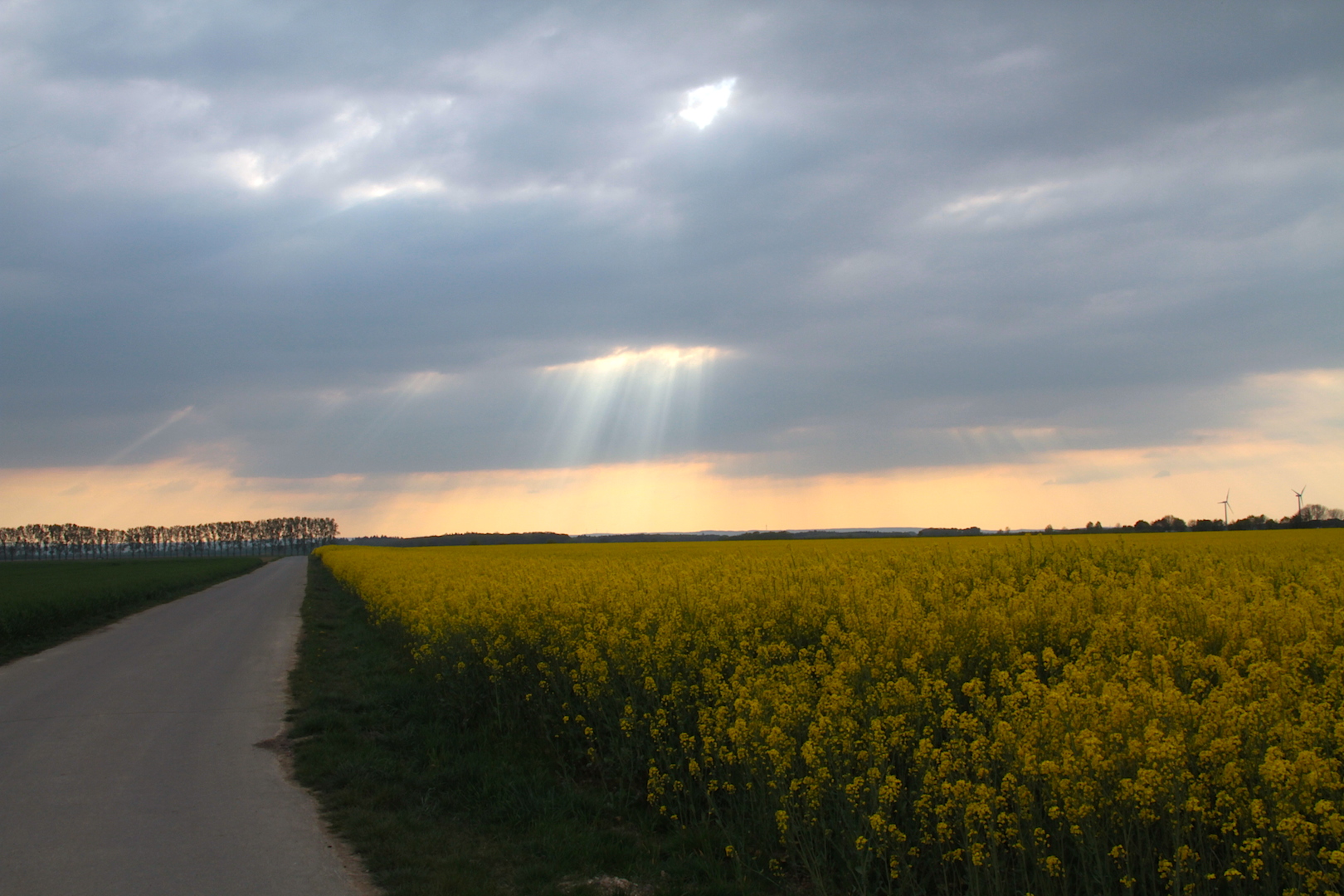
The area of Belgium is known as the Hohes Fenn, or Higland Moorland. The highland moor, which acts as a natural water reservoir, is the source of half a dozen rivers, including the Rur, Olef, Warche, Schwalm and Our.
The area where we cycled our 170km falls lock stock and barrel in the so-called Battle of the Bulge. The terrain is not all friendly and I indeed did battle with my bulge as well, but then decided I’ll only lose it if I stop those beer and waffle stops! Why would I cycle then?


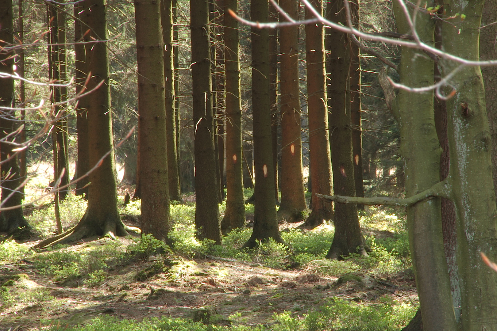
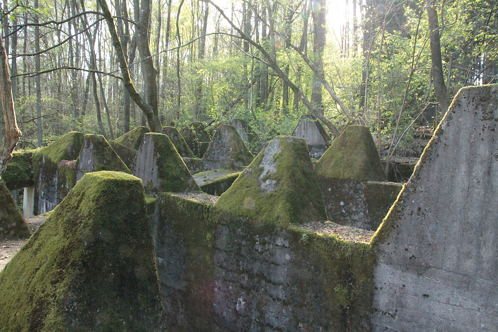
The Battle of the Bulge was sort of Hitler’s last serious offense to try and prevent Antwerp as harbour to the Allies, before he hit the road, blew up the Bridge at Remagen as part of his retreat and took refuge in a bunker in Berlin for a while (not historically accurate, but you get my drift). However, it wasn’t all plain sailing for the American forces in this mountainous area. ‘The Hürtgen Forest occupies a rugged area between the Rur River and Aachen. This Rur is not the same river as the other Ruhr. The other Ruhr River has a ‘h’ in it, and is the water vein of that German industrial area which we all learned about in standard 4 geography. But this Rur is actually the same river as the Dutch Roer, and which flows into the Maas River at the stunning town of Roermond. In the autumn and early winter of 1944, the weather was cold, wet, and cloudy, and often prevented air support. Apart from the poor weather, the dense forest and rough terrain also prevented proper use of Allied air superiority, which had great difficulties in spotting any targets. The dense conifer forest is broken by few roads, tracks, and firebreaks; vehicular movement is restricted. Conditions on the ground became a muddy morass, further impeding vehicular traffic, especially heavy vehicles such as tanks’ (Wikipedia)


Its in similar terrain, bordering the Hürtgen forest in the Parc Naturel Hautes Fagnes or Hohes Venn where I battled my bulge, but on impeccable infrastructure. It remains, for me as a South African, incredible to be in fairly remote and secluded parts of these European forests, just to see a young lady strolling her Sunday stroll alone, and on two-meter-wide tarmac cycle roads for many kilometres, nogal.
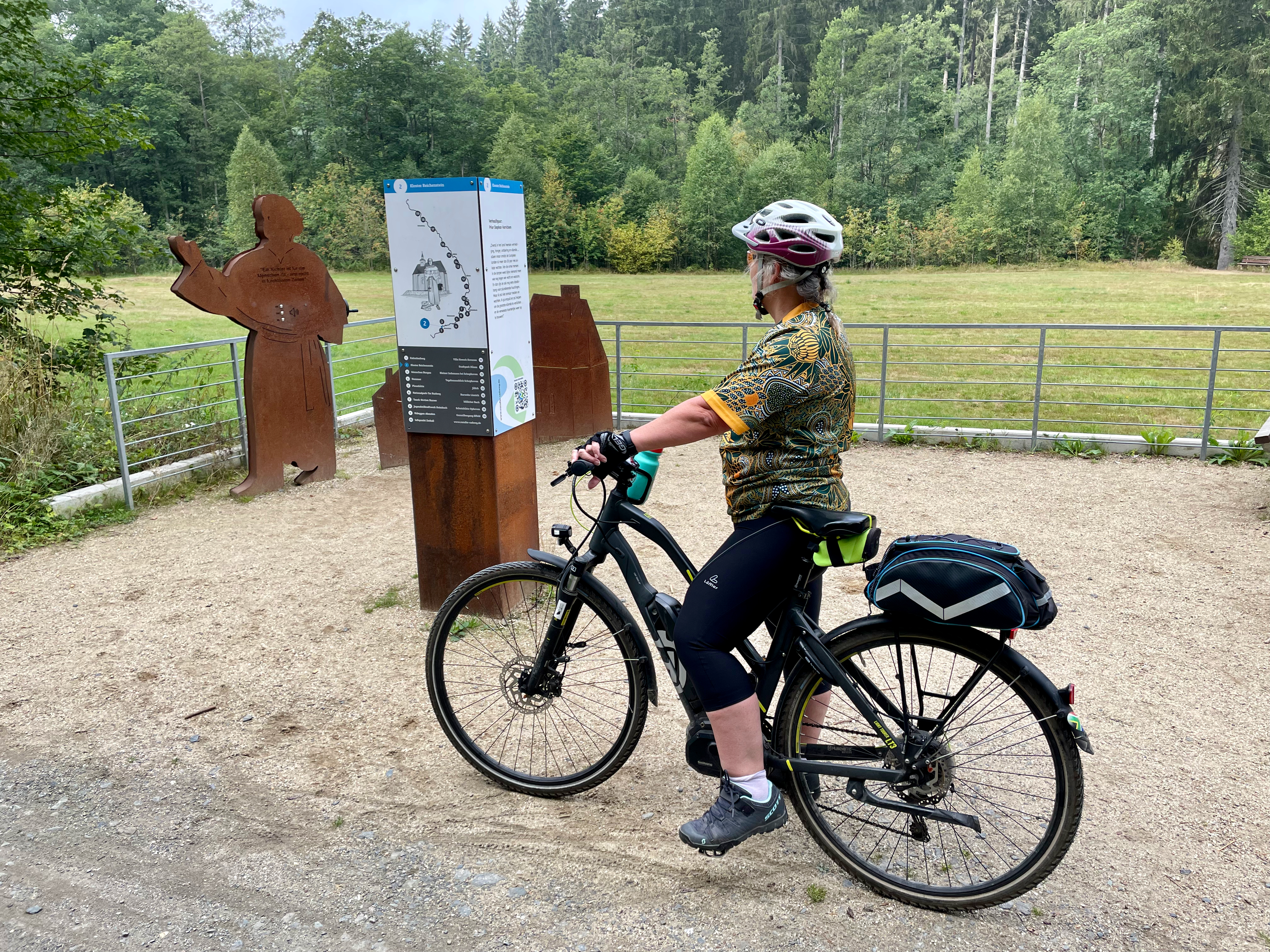
In the hilly forest of our daily start, is the interesting Kloster Reichenstein, which is currently being restored and where monks will soon again reside. In 1639, in the middle of the 30 year war, Stepfan Horrichem was put in charge of the Reichenstein Monastery as prior. Horrichem dedicated himself with full commitment to the consolation and assistance of the suffering population. Sometimes disguised as a farmer, he went from farm to farm and village to village to protect himself from infringement. In doing so, he earned respect, prestige and even admiration from the needy population. Next to the forest road, is a remembrance plague to Prior Horrichem, which unfortunately reminds us of the many many conflicts of Europe, as we actually see in the Ukraine at the moment.

You don’t have to be a cyclist, nor a camper, to visit and explore and enjoy this amazing part of Germany and Belgium, but to spend time in some of these slightly more remote nature-based camp sites in Europe, is highly recommended. The beautiful clean rivers, lush forests and green farmland hills all convert into real and peaceful scenic beauty.